

Hadrian’s Wall is the best-known frontier in the Roman Empire and one of the most important monuments built by the Romans in Britain. It stands as a reminder of past glories of one of the world’s greatest civilisations – and the resilience of the northlands to resist its power. Inscribed as a World Heritage Site in 1987, it ranks alongside the Giant’s Causeway, Stonehenge and the city of Bath as one of the most popular visitor attractions in Britain.
Hadrian’s Wall Path is a dedicated trail for walkers stretching from Segedunum Roman Fort in Wallsend, Newcastle upon Tyne to The Banks, Bowness-on-Solway, west of Carlisle. It opened officially in 2003, enabling visitors to walk the entire length of Hadrian’s Wall along an unbroken, signposted trail stretching from coast to coast.
At 84 miles, the Path is ideal for a week-long holiday as well as highly attractive for day visitors. Dozens of short walks have also been created to encourage people to enjoy the surrounding Hadrian’s Wall Country, particularly useful for visitors taking short breaks in the nearby cities, market towns and villages.
Creating Hadrian’s Wall Path, one of 16 National Trails established across England and Wales, involved building special steel and timber footbridges, installing gates, stiles and other furniture, as well as using environmentally-friendly methods to prepare the Path for tens of thousands of visitors.
The National Trail project involved close partnership with local authorities and other agencies including English Heritage, English Nature, The National Trust, the Solway Area of Outstanding Natural Beauty, Northumberland National Park, farming and user groups and the Hadrian’s Wall Tourism Partnership.
For most of the route, the Path is close to the historic line of Hadrian’s Wall and has been designed to respect the sensitive nature of the landscape. To protect the Wall’s setting and any buried archaeology, the path must be maintained as a sustainable grass surface to minimise erosion in wet and wintry weather.
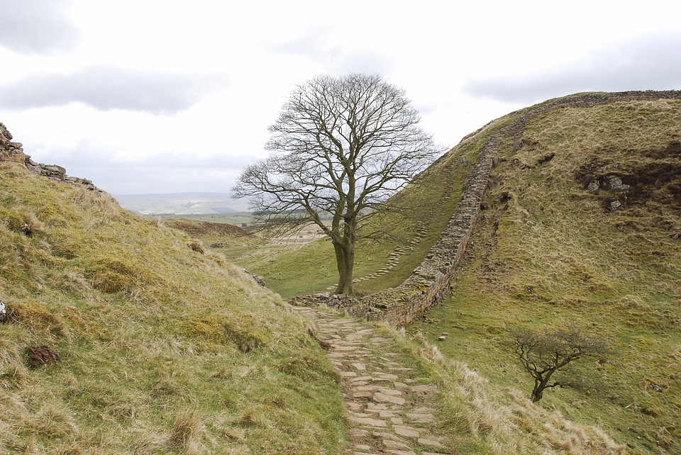
In a short visit, it wasn’t possible to walk the length of the Wall but a circular route from Steel Rigg gave a real flavour of its character. Leaving the car in the small car park, we set off on a winter’s day in sunny, blustery conditions as clouds scudded across the sky. A ‘lazy wind’, as they say in these parts, was blowing – it cut straight through rather than going around.

With views across to Crag Lough and Peel Crags in the distance, the path dropped down into Peel Gap. The fine section of wall is, in fact, a 19thC reconstruction but fine, nonetheless. Despite local farmers removing stones for building over the centuries, you get a clear picture of the Wall’s character and how isolated the mini-forts must have felt like hundreds of years ago.
A pause at Milecastle 39, which once accommodated 20 troops on this northern frontier, was followed by another climb. This ‘up and down’ character of the Path reflects the tactical considerations of the Roman engineers, building to try to control movement on the frontier. This roller-coaster character certainly adds interest and the short, steep climbs soon warmed up the blood.
Looking down from Crag Lough at the sheer cliffs, it was easy to see why the milecastles were positioned in the wind-tunnel effect dips; they are, of course, the obvious places to cut through to the south. The Pennine Way follows this section of the Wall, so we had two National Trails underfoot for a while. However, the circular nature of this walk meant turning northwards on an old cart track across Ridley Common.
This boggy ground was soon left behind as we turned westwards along a farm track to the reed beds and boardwalk of Greenlea Lough. A birdwatchers’ hide in the form of a solid shed offered shelter against the wind and rain but, on this day, little in the way of birdlife.
Climbing back up to the track, Steel Rigg seemed just a stone’s throw away but, in these open spaces, distances and routes can be deceptive. Before long, we regained the car park after a steady uphill haul and reflected on a bracing seven-mile walk.
On a warmer day, we would have lingered at many points to enjoy the stark, dramatic views and the unique atmosphere. As it was, we made a note to return as, with changing seasons and weather, you can never truly have ‘done’ a walk until you’ve experienced its many faces.
Any visit must include some time at The Sill, the UK’s National Landscape Discovery Centre at Once Brewed in Northumberland National Park, and just off the Wall, as it were. Hadrian’s Wall country can be reached by public transport using Tyne Valley Line trains, the Hadrian’s Wall Bus (service AD122) and scheduled bus services.
Top ten Roman sites in the area
- Arbeia Roman Fort, South Shields, Tyneside
- Segedunum Roman Fort, Wallsend, Tyneside
- The Museum of Antiquities, Newcastle upon Tyne
- Corbridge Roman Fort, Northumberland
- Chesters Roman Fort, near Hexham, Northumberland
- Housesteads Roman Fort, near Hexham, Northumberland
- Vindolanda Roman Fort, Bardon Mill, Northumberland
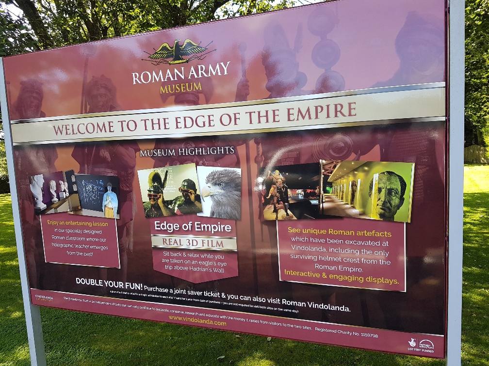
- The Roman Army Museum, Greenhead, Cumbria
- Birdoswald Roman Fort, near Gilsland, Cumbria
- Senhouse Roman Museum, Maryport, Cumbria
© John Traynor – from the Journeys of a Thousand Words series r�.

Very nice 👍👍👍
LikeLiked by 1 person
Thank you!
LikeLike